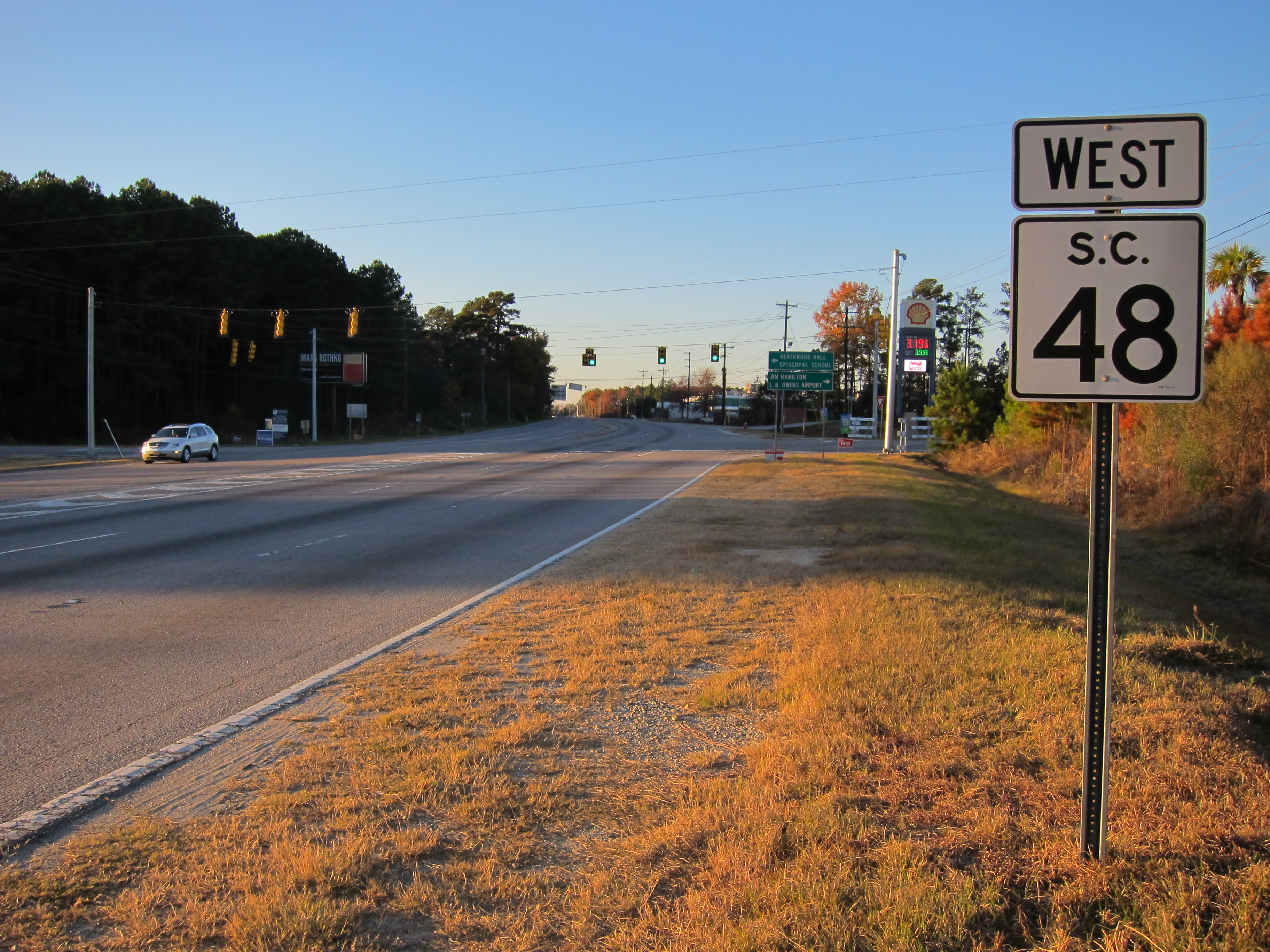
South Carolina Highway 48 on:
[Wikipedia]
[Google]
[Amazon]
South Carolina Highway 48 (SC 48) is a primary
 SC 48 begins in downtown Columbia along Assembly Street. It traverses west, passing alongside the
SC 48 - South Carolina Hwy Index
048 Transportation in Richland County, South Carolina Transportation in Columbia, South Carolina
state highway
A state highway, state road, or state route (and the equivalent provincial highway, provincial road, or provincial route) is usually a road that is either ''numbered'' or ''maintained'' by a sub-national state or province. A road numbered by a ...
in the U.S. state of South Carolina
)''Animis opibusque parati'' ( for, , Latin, Prepared in mind and resources, links=no)
, anthem = " Carolina";" South Carolina On My Mind"
, Former = Province of South Carolina
, seat = Columbia
, LargestCity = Charleston
, LargestMetro = ...
. It serves southern Richland County and access to the Congaree National Park
Congaree National Park is a American national park in central South Carolina, 18 miles southeast of the state capital, Columbia. The park preserves the largest tract of old growth bottomland hardwood forest left in the United States. The lush tr ...
.
Route description
South Carolina State House
The South Carolina State House is the building housing the government of the U.S. state of South Carolina, which includes the South Carolina General Assembly and the offices of the Governor and Lieutenant Governor of South Carolina. Located in t ...
and the University of South Carolina, before turning onto Rosewood Drive and then onto Bluff Road. After leaving the Columbia city limits, it continues through southeastern Richland County as a two-lane rural highway to U.S. Route 601 (US 601).
History
Established in 1930 as a new primary routing, it originally traversed from Gervais Street, going east along Assembly Street, to US 601 in Wateree. Various adjustments in its downtown routing have been made between 1937-46. In 1950, SC 48 was straightened out between Gadsden and Wateree, leaving behind Old Bluff Road. In 1978, SC 48 was extended west to its current western terminus at Elmwood Avenue.Junction list
Columbia truck route
South Carolina Highway 48 Truck (SC 48 Truck) is atruck route
A truck or lorry is a motor vehicle designed to transport cargo, carry specialized payloads, or perform other utilitarian work. Trucks vary greatly in size, power, and configuration, but the vast majority feature body-on-frame constructi ...
of SC 48 that exists entirely within the southwestern part of Columbia. It is mostly unsigned
Unsigned can refer to:
* An unsigned artist is a musical artist or group not attached or signed to a record label
** Unsigned Music Awards, ceremony noting achievements of unsigned artists
** Unsigned band web, online community
* Similarly, the c ...
, except for a sign at its western terminus. It is also concurrent
Concurrent means happening at the same time. Concurrency, concurrent, or concurrence may refer to:
Law
* Concurrence, in jurisprudence, the need to prove both ''actus reus'' and ''mens rea''
* Concurring opinion (also called a "concurrence"), a ...
with U.S. Route 21 Connector (US 21 Conn.) and the western segment of US 76 Conn., which are both also unsigned. All three highways take Blossom Street between US 21/ US 176/ US 321, from where they turn left off of Blossom Street and onto Huger Street, and SC 48 (Assembly Street).
See also
*References
External links
*{{commons category-inline, South Carolina Highway 48SC 48 - South Carolina Hwy Index
048 Transportation in Richland County, South Carolina Transportation in Columbia, South Carolina